Military plane carries out aerial photography over the quake-hit region
chinadaily.com.cn |
Updated: 2017-08-09 15:00


Share


Share - WeChat


 |
| A military transport plane Y-9 prepares to take off for an aerial photography mission over the earthquake-hit region in Southwest China's Sichuan province on Aug 9, 2017. The plane took off in western Sichuan around 9:24 am. A magnitude-7.0 earthquake struck Jiuzhaigou county, Sichuan province, on Tuesday. [Photo/Provided to chinadaily.com.cn] |
Related Stories


- 6.6-magnitude quake hits waters off Taiwan: CENC
- China seeks public feedback on draft rules for anthropomorphic AI services
- China's top legislature concludes standing committee session
- China adopts revised Civil Aviation Law
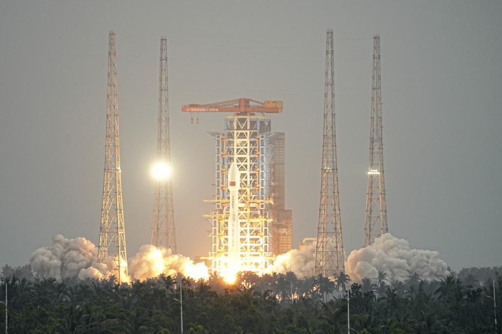
- China launches satellite to aid in early extreme weather detection
- Report on mining accident that killed 6 suggests accountability for 42 individuals